
Color in every place you have been
Tap a country to tint it on a real world map. Add states and cities, see how much of the world you have covered, and share your map. No account, works offline.

Tap to color a country
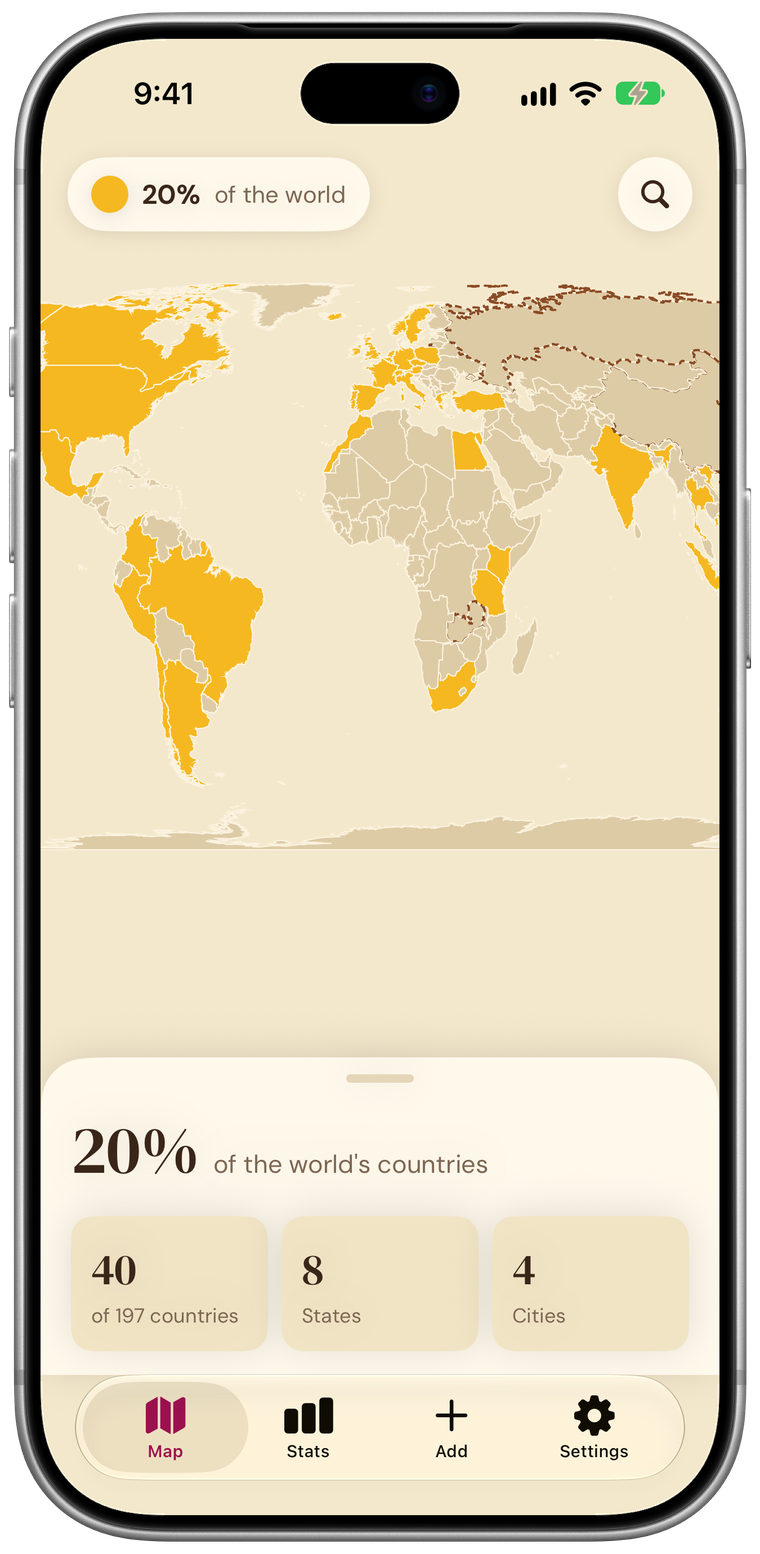
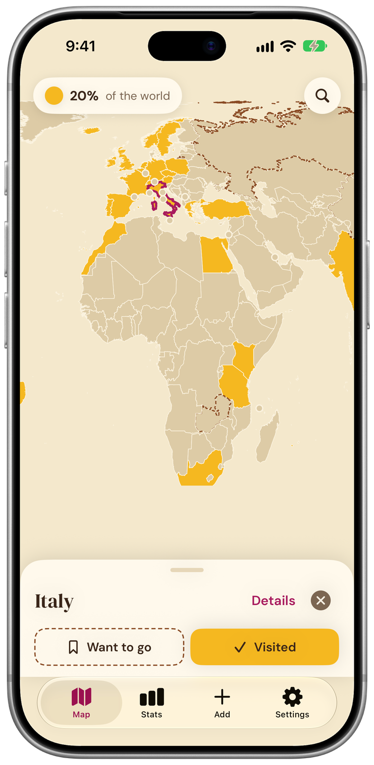
Tap a country on the map and mark it visited. It fills in saffron. Places you want to go get a dashed outline.
Dive into states and regions
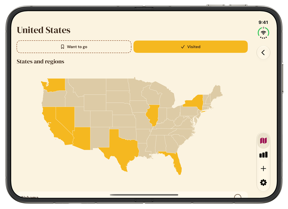
Open a country to color its states and regions, then add the cities you have been to.
See your world in numbers
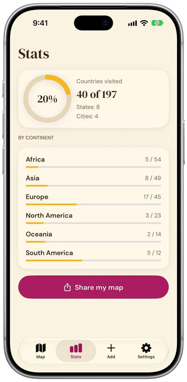
The percent of the world you have colored, a list of countries by continent, and a picture of your map to share.
Your photos stay on your phone
Tintmap can suggest places from the location in your photos. It reads them on your device only, and nothing is added until you review it.
Tintmap Pro
Color in every place you have been
Tap a country to tint it on a real world map. Add states and cities, see how much of the world you have covered, and share your map. No account, works offline.
Tap to color a country
Tap a country on the map and mark it visited. It fills in saffron. Places you want to go get a dashed outline.
Dive into states and regions
Open a country to color its states and regions, then add the cities you have been to.
See your world in numbers
The percent of the world you have colored, a list of countries by continent, and a picture of your map to share.
Your photos stay on your phone
Tintmap can suggest places from the location in your photos. It reads them on your device only, and nothing is added until you review it.